|
 |
 |
 |
 |
|
|
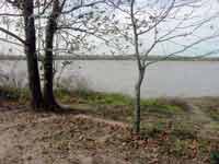
Here's where it all
begins, at the mighty Mississippi River.
|
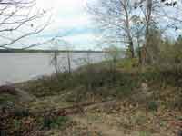
Panning a bit to the
right (looking north), it is evident that there is no levee here.
|
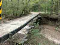
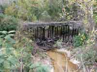
This is typical of the
many wooden bridges in the area crossing a small riverbed.
|
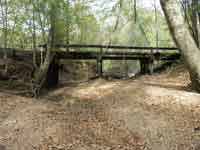
Standing down in the
riverbed, one can see the simple construction of the bridge.
|
|
|
 |
 |
 |
 |
|
|
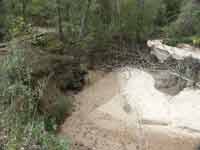
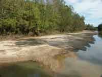
The north side of the
bridge reveals the sandy riverbed.
|
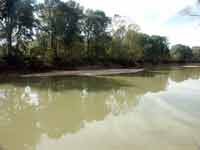
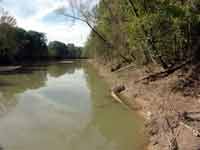
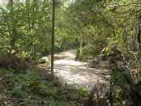
This is the Little
River. The Louisiana Central spans this waterway with a 150'
long Pratt truss bridge.
|
Another view of the
Little River. This is the largest river the Road crosses.
|
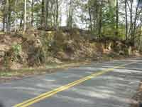
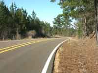
This road is
approaching the summit of a hill, cutting through those last few
feet of elevation.
|
|
|
 |
 |
 |
 |
|
|
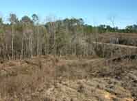
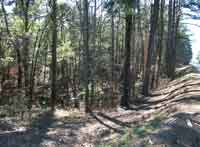
This is the heart of
the Tunica Hills, and threading a rail line through this terrain is
no easy task.
|
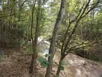
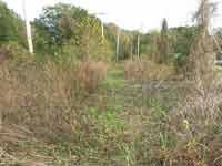
The many waterways
threading throughout the hills require a good number of bridges.
|
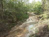
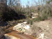
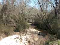
Another typical creek
bottom, mostly sand.
|
The biggest attraction
to this region is the hunting. It is teeming with deer.
|
|
|
 |
 |
 |
 |
|
|
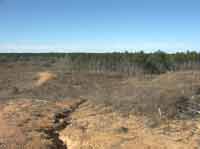
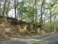
The terrain elevation
is getting progressively higher as we advance to the northeast
|
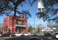
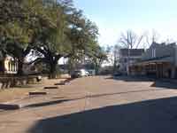
This is the City Hall
in Woodville, Miss., just a few miles south of our railroad town of
Whitcomb, Miss.
|
Here is the view in the
opposite direction from above. The courthouse is barely in
view at the left.
|
The Louisiana Central
crosses dozens of rivers and bayous in its ramble through Louisiana
and Mississippi, both large...
|
|
|
 |
 |
 |
 |
|
|
...and
small.
|
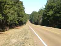
We're in Mississippi
here. As in Louisiana, the roads in this area often follow the
ridge lines.
|
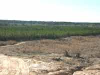
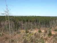
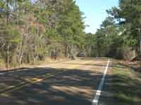
We are steadily moving
higher in elevation. Notice also that the woods are becoming
dominated by pine.
|
...and
more pine.
|
|
|
 |
 |
 |
 |
|
|
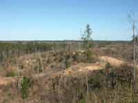
Here we're approaching
the summit of one of the largest hills on the route.
|
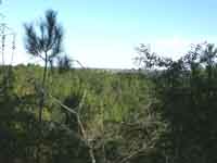
A view across the
valley from the summit.
|
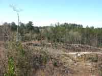
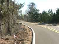
The road plunges down
again, but will rise abruptly just a few curves away.
|
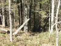
Here is one of the
Road's trestles. Actually, this one is abandoned, but it is
similar to many along the line.
|
|
|
 |
 |
 |
 |
|
|
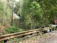
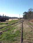
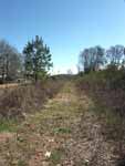
A view along a stretch
of ROW. You do see the tracks there, don't you?
|
This particular
crossing has been abandoned twice. The current trestle is just
around the bend.
|
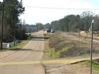
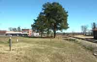
The rail line has just
come into Willis, Miss., the midpoint of the line.
|
We've moved a block to
the east. The model town of Willis will emulate this scenario.
|
|
|
 |
 |
 |
 |
|
|
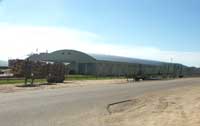
This is the portion of
the building complex at G-P where the plywood is loaded. At
the side of the building is a loader for wood chips. There
will be a similar plant at Willis, only backdated to 1964.
|
A few miles the other
side of railroad Willis, is the actual town of Crosby, Miss.
Again, Willis will emulate this scene on the Louisiana
Central.
|
Here is the abandoned
IC roadbed leading up to that trestle. The track still is in
good shape and used daily in 1964.
|
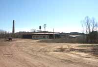
This is all that
remains of the giant Crosby Lumber Company in Crosby, Miss. (these
aren't the original buildings). The Louisiana Central supports
a similar operation; the Spencer Lumber Company.
|
|
|
 |
 |
 |
 |
|
|
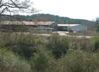
A closer view of the
mill buildings. The Spencer operation will look somewhat
different, as it will be depicted as an older facility.
|
We're at the end of the
line in Bude, Miss. Here, the Louisiana Central interchanges
with the Mississippi Central Railroad.
|
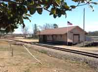
This is the Mississippi
Central Depot in Bude. The Louisiana Central also shares this
depot over trackage rights extending here from the interchange.
|
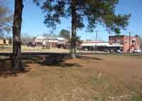
Panning to the left, we
see downtown Bude.
|
|